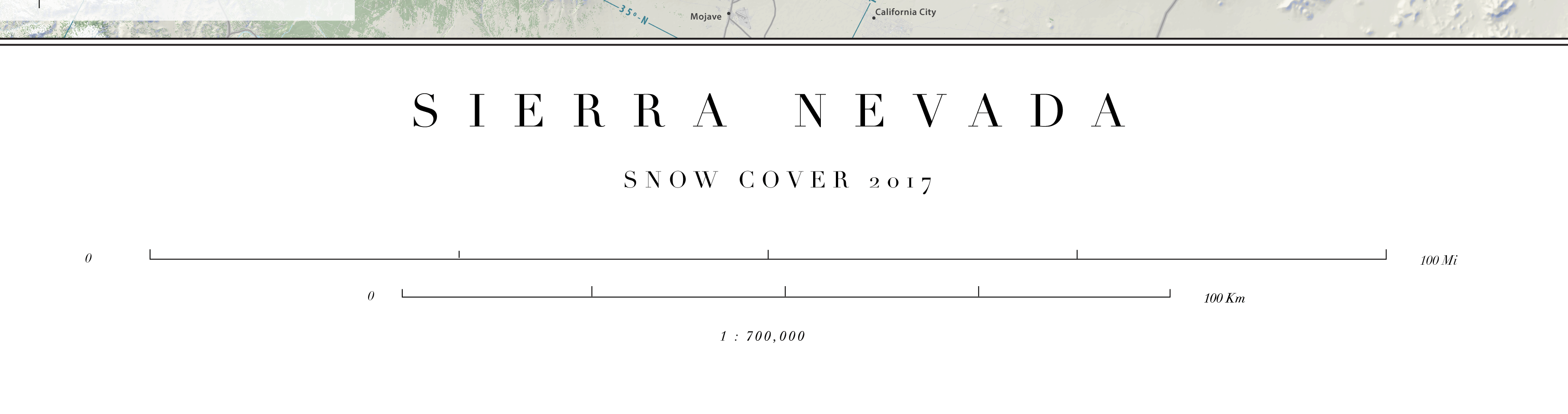
Sierra Nevada
Snow Cover 2017
20.8"x50.8" | $60.00
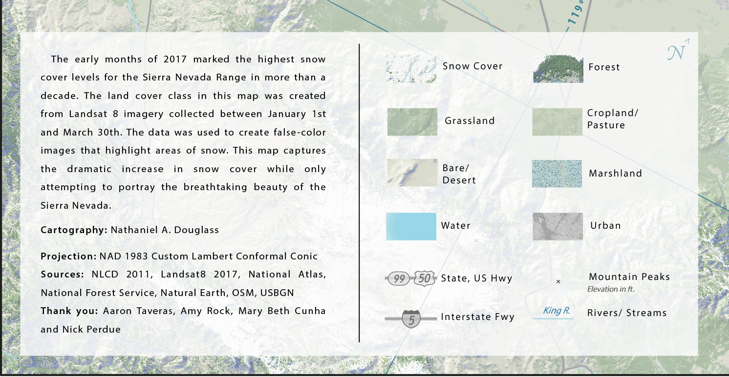
The early months of 2017 brought record-breaking snowfall to the Sierra Nevada—marking the highest snow cover levels in over a decade. This map’s snow land cover class was derived from Landsat 8 imagery collected between January 1 and March 30, 2017. Using false-color composites to emphasize snowpack, I extracted the snow-covered areas and used them as a masking layer in Photoshop. The final product captures both the sheer extent of the snow and the awe-inspiring beauty of the Sierra Nevada during this remarkable season.
Cartographic details worth noting:
The terrain is styled with a lightened Swiss
hillshade—thank's to the help and guidance from
Aaron Taveras—with subtle light blue shadows that lend the snow a touch of “frostiness.”
One of the biggest challenges was avoiding a flat, featureless snow blanket. To add depth and visual nuance, I used a gentle gradient map
to distinguish higher elevation snowfields from those at lower altitudes. I also added fine-grained texture where snow and tree cover overlap,
helping the snow feel like part of the landscape rather than something simply layered on top.
This map was a labor of love—many hours, a few tears, and a lot of joy went into its creation. It was one of my first major undertakings as a cartographer so please handle it with care and take your time exploring a landscape that means so much to so many.
To place an order, please message me directly at: ndCartography@gmail.com